Maritime Security
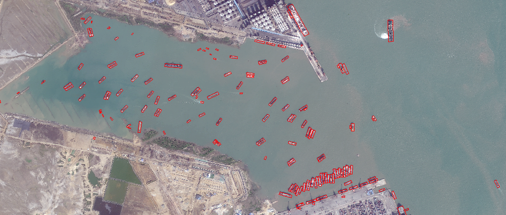
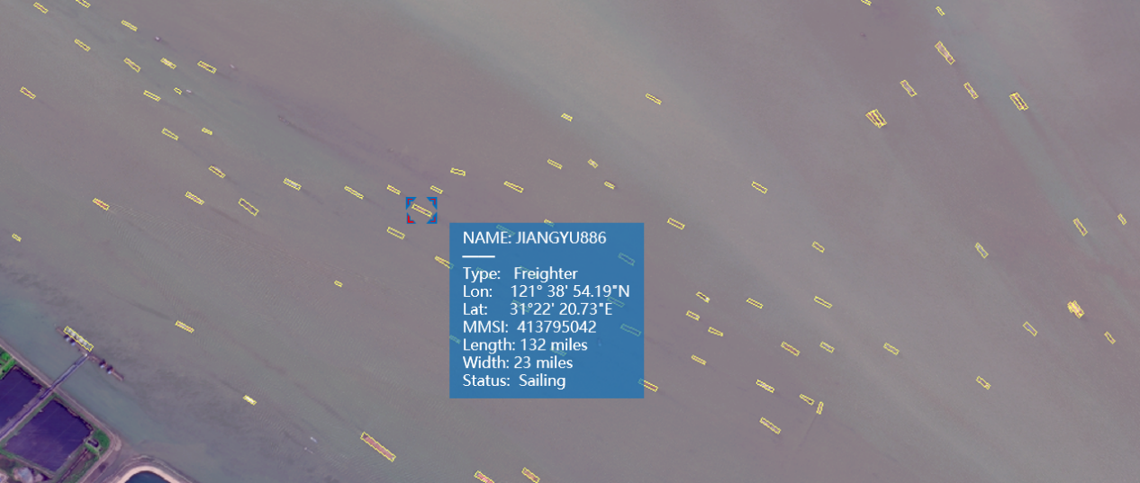
We can utilize abundant optical and radar satellite images, real-time AIS information and advanced AI algorithm to rapidly and timely provide all types of critical information on vessels, identify potential threat, combat illegal activities and safeguard maritime security.
China Siwei can overcome the effect of bad weather at sea and utilize SAR satellite image to find lost vessels. China Siwei satellites possess the self-programming and photography capabilities, which can assist in the search and rescue in an emergency.


China Siwei applies advanced AI algorithm to automatically and rapidly find shipping and fishing vessels in vast and remote sea area, and utilize nearly real-time AIS information to track maritime transportation and conduct cross-validation, with the purpose of consistently monitoring maritime activities.


